
Plan your visit
Plan your visit
Arrive early to avoid crowds. Bring layers for the chilly summit and sturdy shoes for sharp lava rock.
Hawaii Volcanoes National Park
1 Crater Rim Drive, Hawaii National Park, HI 96718
GPS 19.429, -155.257
Open directionsGetting there
Most visitors rent a car and drive. Guided vans handle the long routes from Kona or Hilo.
| How | Time | Cost | Notes |
|---|---|---|---|
| Car: Renting a car and driving is the most common way to visit. The park entrance is located on Highway 11. | 45 minutes from Hilo; 2 to 2.5 hours from Kailua-Kona | $30 per vehicle for a 7-day pass | Check the National Park Service website or app for road closures before driving, as volcanic activity frequently alters access. |
| Tour: Book a guided van or minibus tour departing from Hilo, Kona, or Waikoloa. | 8-12 hours (full day) | $150 - $250+ per person | Great for first-timers; guides provide deep geological and Hawaiian cultural context and handle all driving. |
| Walk: Entering the park on foot or bicycle and utilizing the extensive trail system. | Varies by trail | $15 per pedestrian or bicyclist | Trails range from accessible paved paths to rugged, multi-day backcountry treks over hardened lava. |
When to go
- J
- F
- M
- A
- M
- J
- J
- A
- S
- O
- N
- D
QuietModerateBusyPeak
The park is open 24 hours a day, 365 days a year. Visit between September and November or April and May for the lowest crowds. Summit weather can be rainy and cold at any time of year.
What to bring
Your ticks are saved in this browser only.
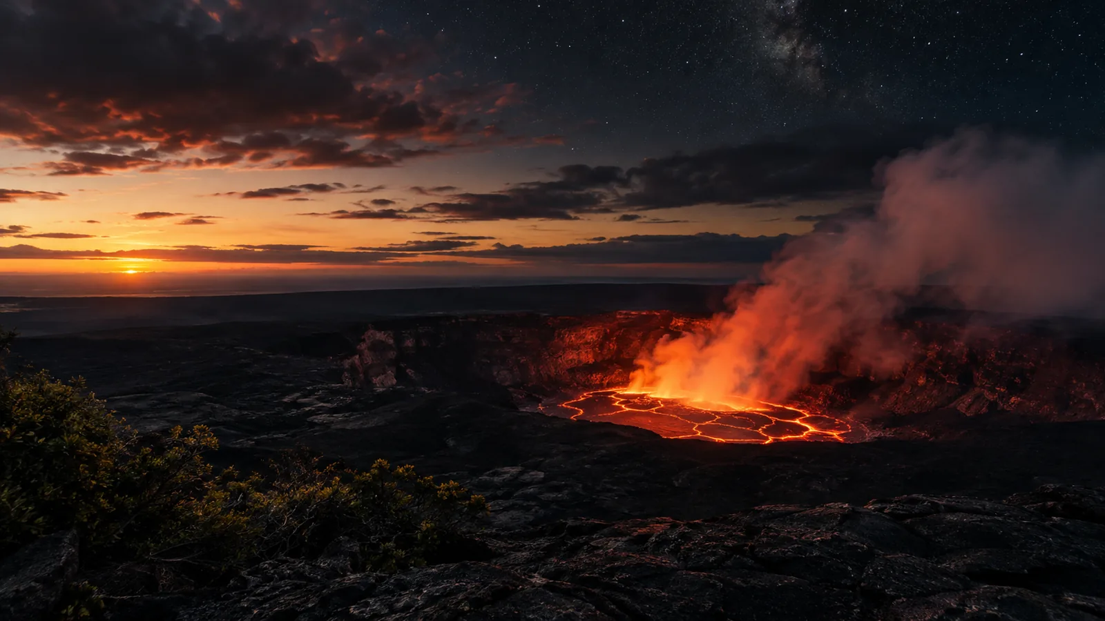
The Kīlauea Visitor Center sits at an elevation of roughly 4,000 feet.
Temperatures here are significantly lower than on the coast.
How the day runs
Make the most of your time on the mountain.
A half-day route covering the main crater area and a short hike.
- Kīlauea Visitor Center
Check the daily ranger schedule and trail updates.
- Sulphur Banks
Walk the 30-minute paved trail past steaming volcanic vents.
- Thurston Lava Tube
Walk through a massive 500-year-old underground cave.
- Kīlauea Iki Trail
Hike down to a solidified lava lake on this 3.3-mile loop.
Explore the summit before driving all the way down to the ocean.
- Summit Sights
Visit the Visitor Center and Thurston Lava Tube early.
- Devastation Trail
See a landscape buried by the 1959 eruption.
- Chain of Craters Road
Drive down the mountain, dropping 3,700 feet in elevation.
- Puʻuloa Petroglyphs
Hike 1.4 miles to see ancient Hawaiian rock carvings.
- Hōlei Sea Arch
View the 90-foot natural rock formation at the road's end.
What to pack
Always wear sturdy, closed-toe hiking shoes. Lava rock is extremely sharp and uneven. Bring a rain jacket or poncho. Summit weather changes rapidly and is frequently misty.
Pack warm layers. The 4,000-foot summit gets chilly, especially at night. Bring a reusable water bottle, sun protection, and a flashlight. A headlamp is essential for exploring lava tubes or viewing nighttime glow.
Easiest way to do it

Hawaii Volcanoes National Park Self-Guided Driving Audio Tour
2 h to 3 h 4.6 (35)
- Just bring your car and phone; the app guides your tour.
- Support is available via chat, email, or phone if you need help.
- Planning tools, route maps, scenic stops, and area previews included.
- Private tour experience for your family, in your own car.
From$17per person
Cancellation terms differ by platform and listing. Check them before you pay.
Planning questions
Can I drive through the park?
Yes. The most common way to visit is by driving. Chain of Craters Road offers an 18.8-mile scenic descent to the coast.
Where should I eat?
Food options inside the park are very limited. Pack snacks or a picnic lunch before driving up the mountain.
Is there cell service?
Cell service is spotty or nonexistent in many areas of the park. Download offline maps and audio tours before you arrive.